SUNT — Salvador Urban Network Transportation
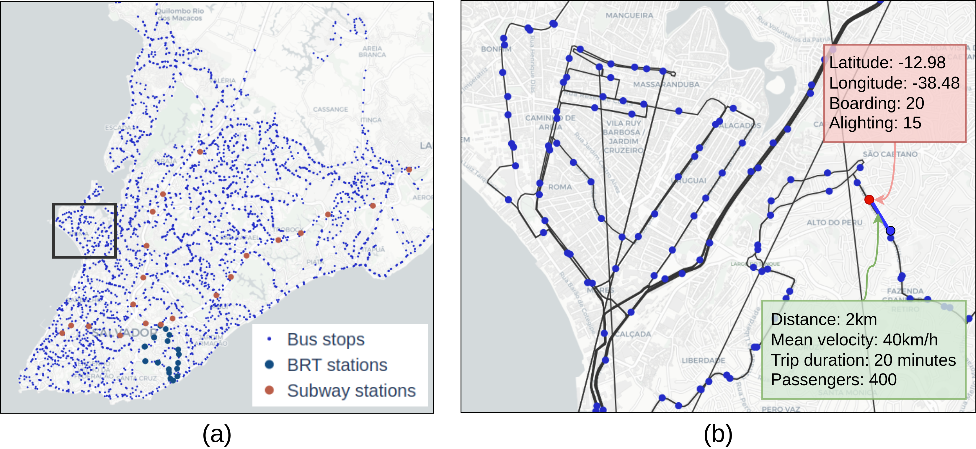
SUNT is the most comprehensive open public transportation dataset currently available in the literature. Collected in Salvador, Brazil, between March 2024 and March 2025, it covers ~694 km² and serves nearly 3 million residents.
At a Glance
| Feature | Value |
|---|---|
| City | Salvador, Brazil |
| Period | March 2024 – March 2025 |
| Temporal granularity | < 1 minute |
| Graph nodes (stops/stations) | 2,871 |
| Graph edges (routes) | 4,526 |
| Daily passengers | ~700,000 |
| Vehicles | ~2,000 |
| Lines | ~400 |
| Stops & stations | ~3,000 |
| License | CC BY 4.0 |
Transportation Systems
- ~1,900 buses on ~400 lines
- ~3,000 stops and stations
- ~470,000 daily passengers
- 2 lines, 20 stations, ~35 km
- ~210,000 daily passengers
- 3 lines, 20 stations, ~40 buses
- ~30,000 daily passengers
What Makes SUNT Unique
- Passenger-level data: boarding and inferred alighting for each trip.
- Multiple data formats: tabular (CSV), graph (nodes + edges), and temporal streams (5-min intervals).
- Full pipeline transparency: raw data (AVL, AFC, GTFS, LTI) and all processed outputs are public.
- Recency: collected 2024–2025, reflecting current urban infrastructure.
Quick Links
- 📦 Full dataset on Mendeley Data
- 🤗 Processed data on Hugging Face
- 💻 GitHub Repository
- 📄 Scientific Data paper (DOI: 10.1038/s41597-025-05674-6)
How to Cite
See the Citation page for BibTeX entries for both the dataset and the paper.